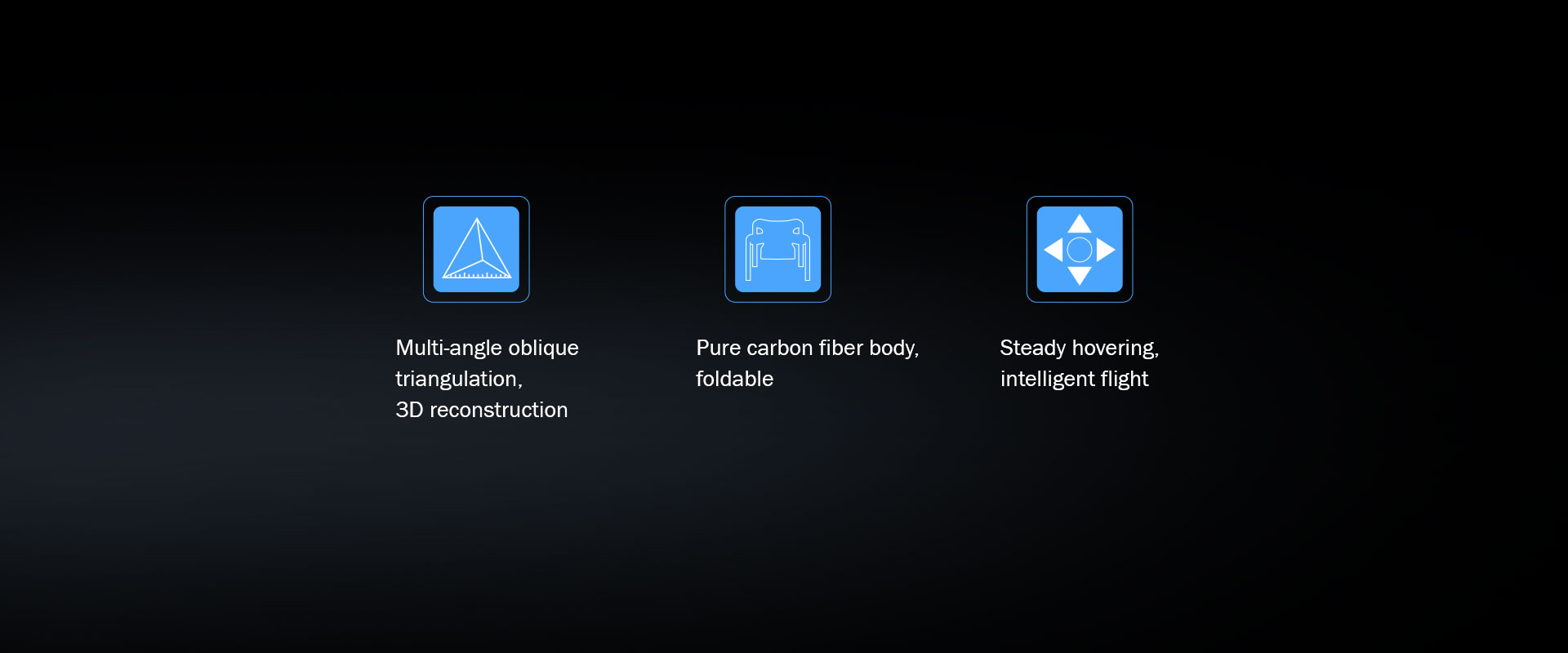
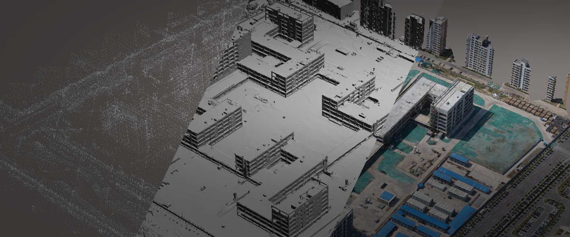
3D reality modeling & texture mapping
Capture real terrain and texture from different views,
full-autonomous matching 3D modeling with point cloud, auto
extracting texture and reflecting it to the 3D model surface.
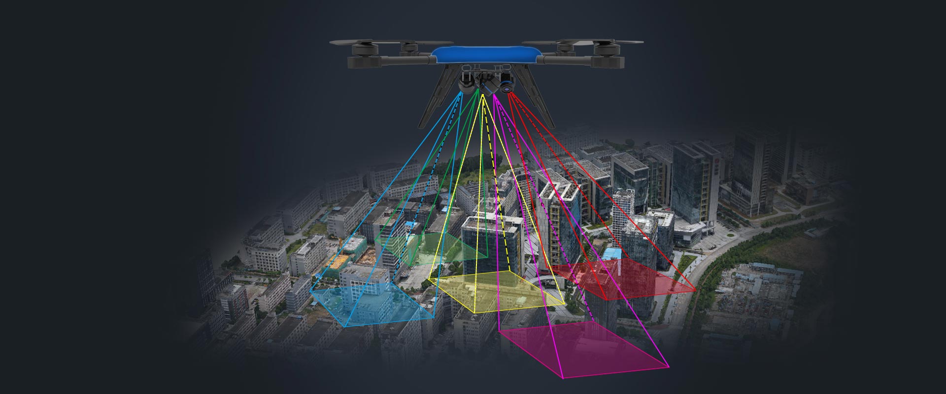
Wide applications
Equivalent measurement of length, height, angle, area, volume and so
forth;
clearly see the vent, firefighting access, entrances, floor,
building and other geoinformation from the 3D model generated.
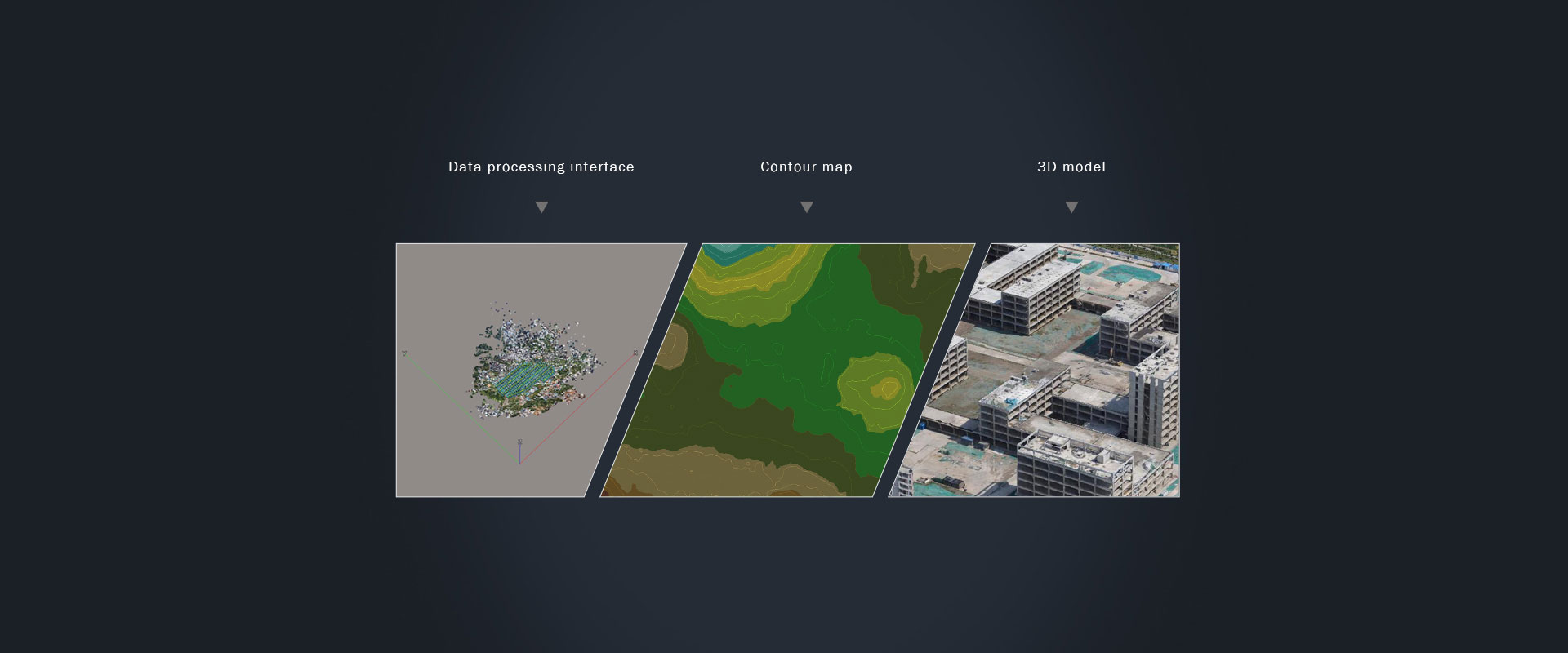
Professional data processing
We use professional data processors like Pix4Dmapper and Trimble
Inpho to create useful 3D models,
orthophoto mosaic, DLG, topographic maps, DEM, contour maps, etc.